Ride like a local
Mapped routes, the stops worth pulling over for, and every ride coming up. Twenty years of local knowledge, in one place.
2004
On the road since
7,000+
Riders in the community
110+
Stops on the map
9
Riding regions
Waterfalls, covered bridges, the hillside swings, and BBQ worth planning a ride around. Pick what you're into.
Nine travel regions, each with its own roads, stops and events. Pick one to see what's there.
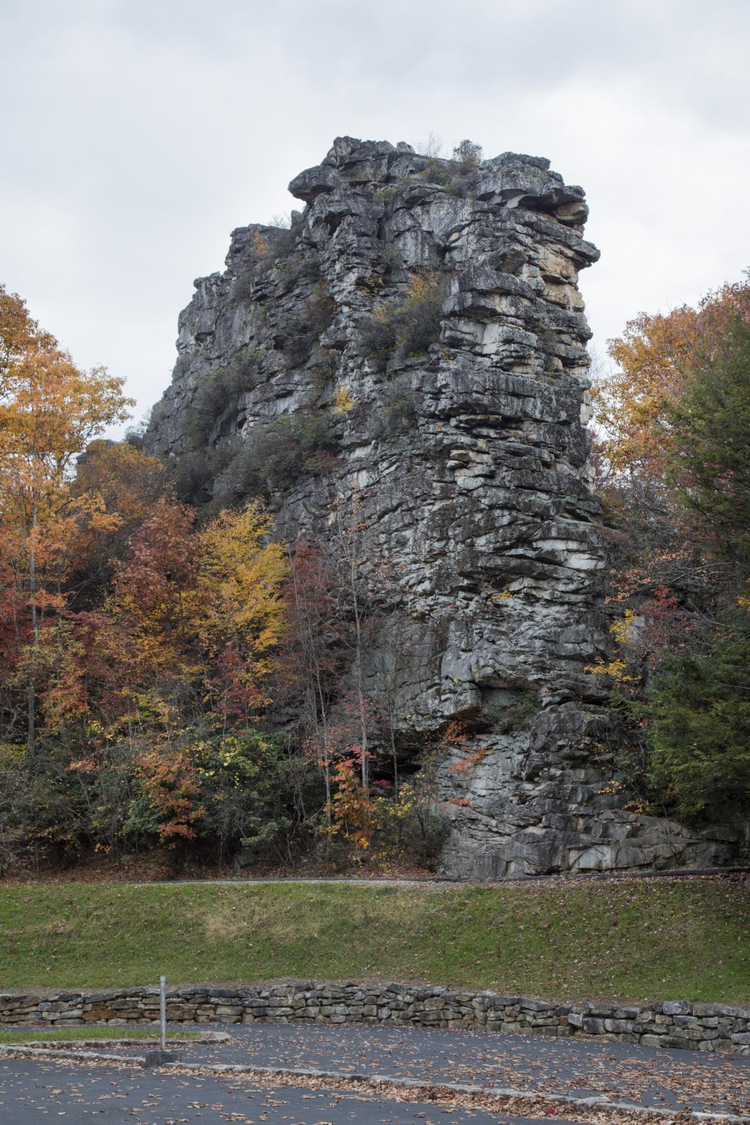
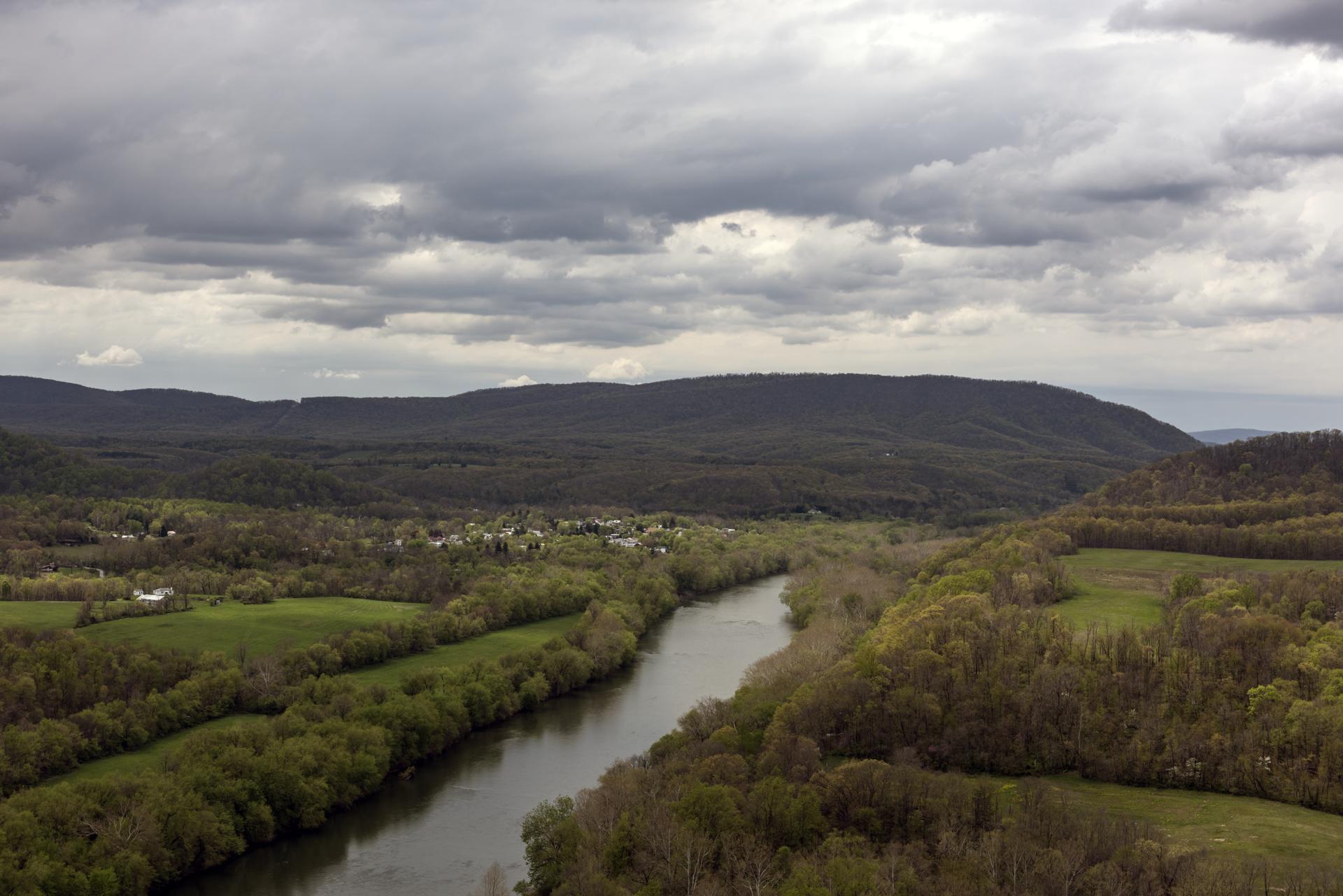
About 78 percent, making it the third most forested state in the country, behind Maine and New Hampshire. Fall is when that shows.
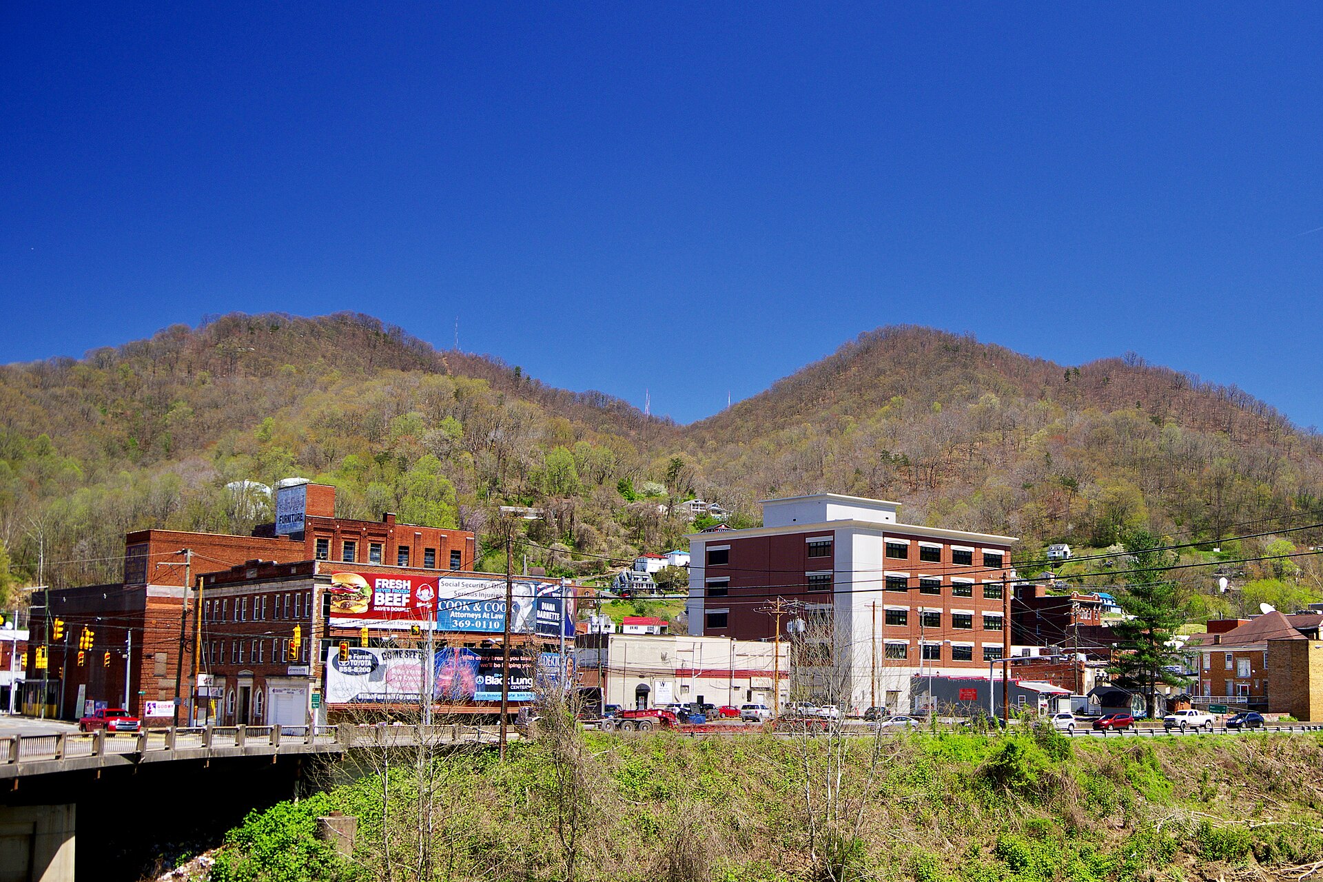
Find a fall ridee-WV: The West Virginia EncyclopediaIt's the only state that sits wholly within the Appalachian Mountains, with an average elevation of about 1,500 feet and a high point of 4,861 feet at Spruce Knob.
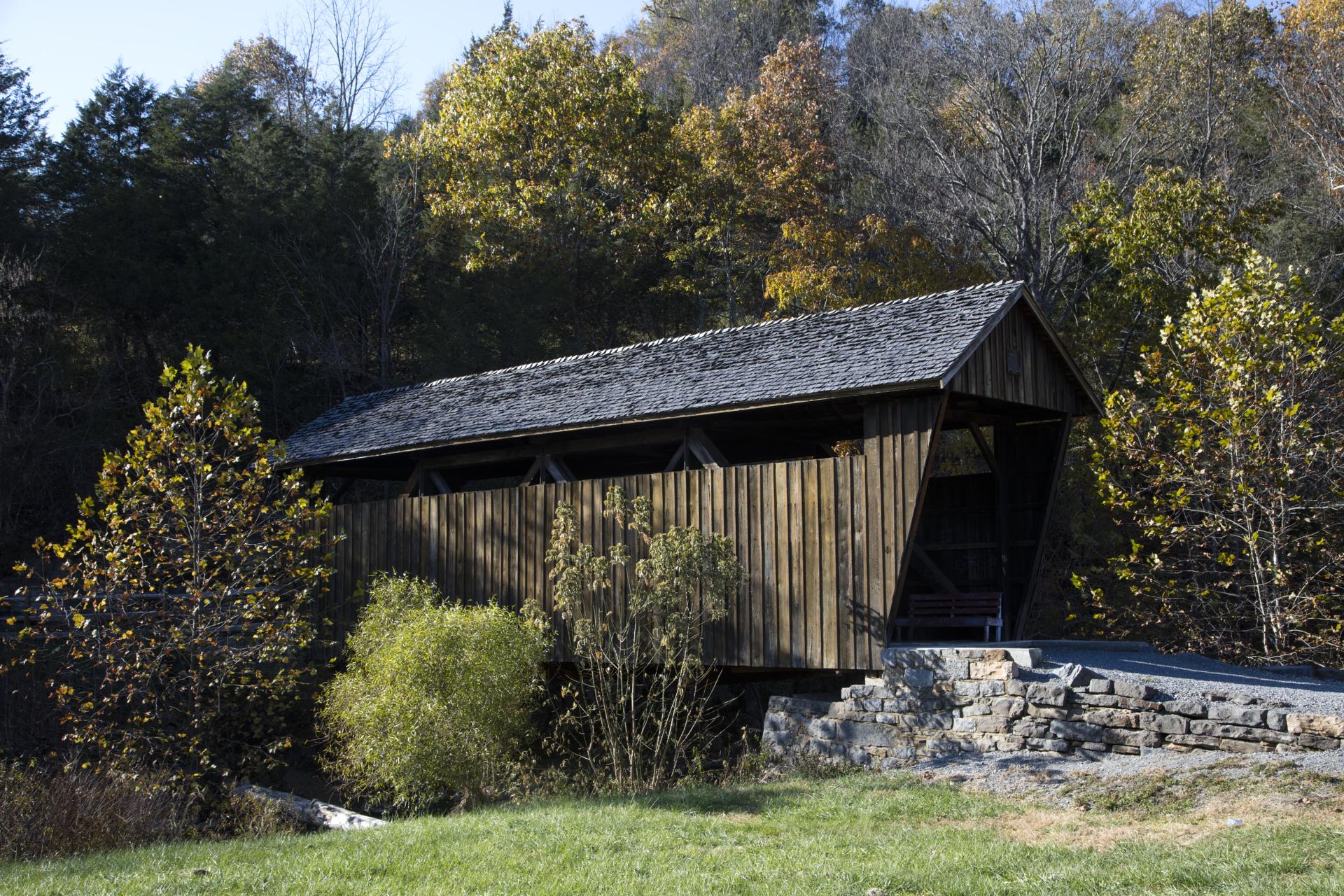
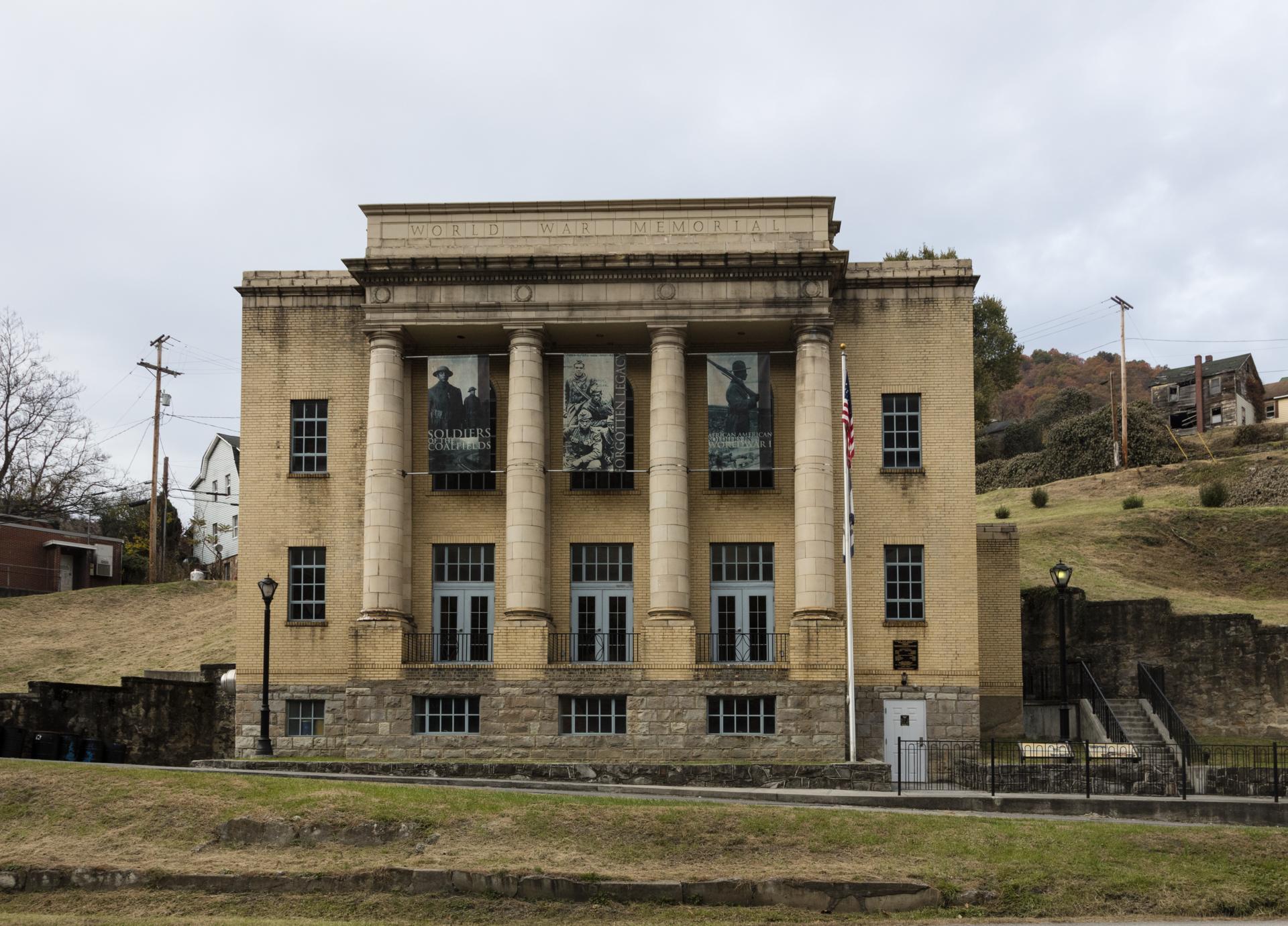
Pick a regione-WV: The West Virginia EncyclopediaPhilippi's, the oldest and longest covered bridge in West Virginia, and the only covered bridge on the U.S. federal highway system. US 250 runs right through it.
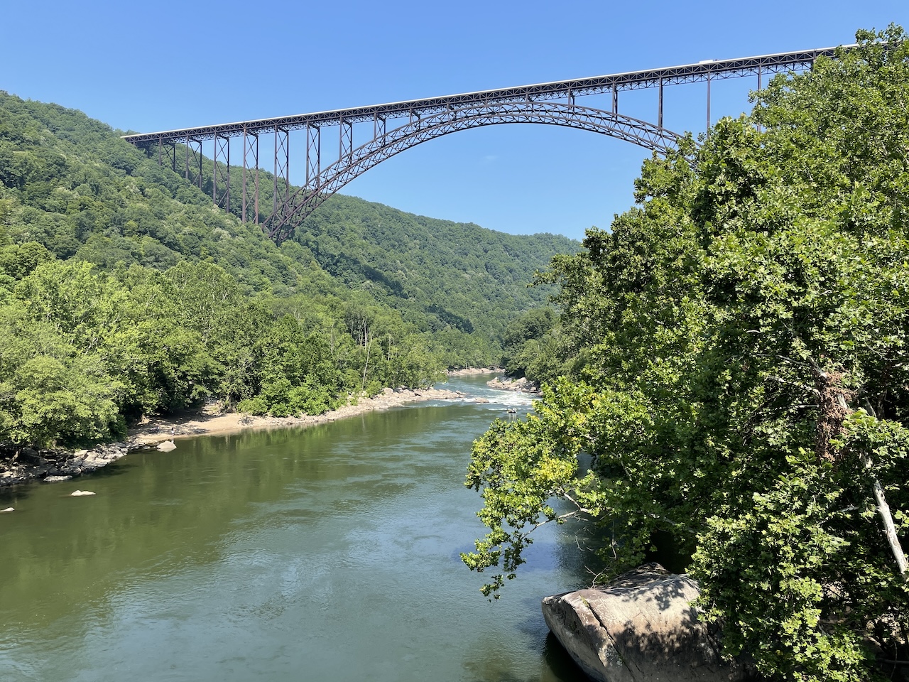
Ride through itWV Tourism3,030 feet, and 876 feet above the river. It's the longest steel span in the Western Hemisphere, and on Bridge Day, the third Saturday of October, it opens to people on foot.
Ride under itNational Park ServiceThe map gets better every time someone lists a place, flags a closed bridge, or points us to the diner nobody writes about. That someone is you.
Trading these roads since 2004
A short note when new routes, events, and stops land. No spam, no filler. Just what's worth riding to.
I'm in